
The river here
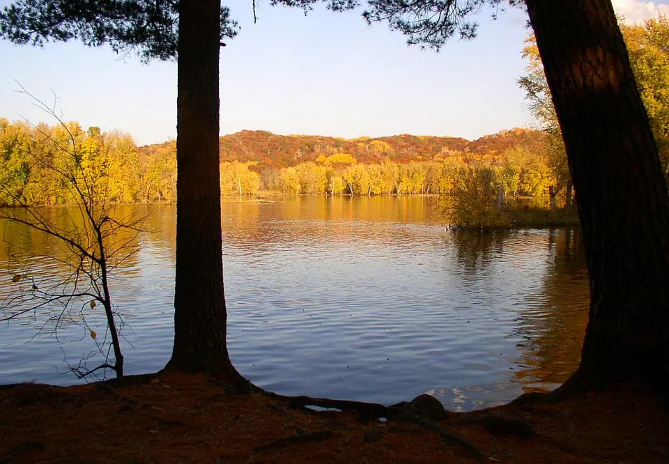
The St. Croix was one of the first rivers protected under the federal Wild and Scenic Rivers Act of 1968, and the stretch past Marine is part of the St. Croix National Scenic Riverway, managed by the National Park Service. Below the dam at St. Croix Falls the river slows, widens and braids around wooded islands. Past Marine it is broad and gentle, with a sand and gravel bottom, shallow bars in late summer and very little development on the banks.
That gentleness is deceptive in spring. Snowmelt routinely pushes the river to several times its summer flow, and the water stays cold well into June. The live reading below compares today’s flow with every year on record for the same date.
Trip ideas
These are classic one-way runs; arrange a shuttle or a second car.
- Osceola Landing → William O’Brien State Park (roughly 7–8 river miles). Islands, side sloughs and eagles. A half-day at a relaxed pace.
- William O’Brien → Marine (about 2 miles). A short family float, ending near the village.
- Marine → Stillwater (roughly 11–12 miles). A full day; the river widens toward Stillwater and boat traffic increases, especially on summer weekends.
- Taylors Falls → Osceola (roughly 7 miles). Starts in the basalt gorge of the Dalles; best for paddlers comfortable with stronger current near Taylors Falls.
Distances are approximate. Paddling speed on this stretch is typically 2–3 mph with the current, more at high water.
Reading the numbers
- Flow (cfs) is how much water passes the gauge each second. At St. Croix Falls a typical summer flow is a few thousand cfs; spring floods have topped 50,000.
- “Normal” for today means between the 25th and 75th percentile of all flows recorded on this calendar day. Above normal means faster current, fewer sandbars and more debris; below normal means more sandbars to camp on and occasional scraping in side channels.
- Water temperature matters as much as air temperature. Below about 60°F, a capsize quickly becomes dangerous — wear a life jacket and dress for the water, not the air.
Rules and courtesy
- Wear a life jacket. Minnesota requires a wearable life jacket on board for every person, and children under 10 must wear one while the boat is underway.
- The river near William O’Brien is a slow-speed zone and personal watercraft are not allowed there. Expect more motorboats below Marine.
- Camping on islands and Riverway sites follows National Park Service rules; check the NPS St. Croix site for current regulations, alerts and campsite locations.
- Pack out all trash, and never park blocking a launch.
Last reviewed October 1, 2026.


.jpg)